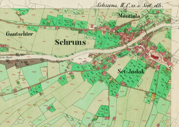
A cadastral map is one which was traditionally used to depict land ownership and use of specific land parcels. It would be used during any type of property ownership dispute to determine land ownership and tenure between neighbors. This map shows a section of Vienna, Austria during the 1800's. It shows individual land parcel uses and ownership, which makes it a cadastral map.
No comments:
Post a Comment